Railway Incline
Introduction
The photograph on this page of Railway Incline by Anne Burgess as part of the Geograph project.
The Geograph project started in 2005 with the aim of publishing, organising and preserving representative images for every square kilometre of Great Britain, Ireland and the Isle of Man.

There are currently over 7.5m images from over 14,400 individuals and you can help contribute to the project by visiting https://www.geograph.org.uk
Railway Incline
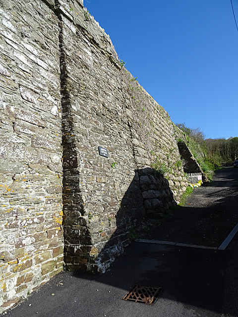
Image: © Anne Burgess Taken: 11 May 2018
The incline seems to have been the end of a branch line, presumably for bringing ore to Portreath harbour. There must have been some means of assisting the empty waggons back up, because it looks much too steep for a conventional train.
Images are licensed for reuse under creativecommons.org/licenses/by-sa/2.0
Image Location
Latitude
50.259933
Longitude
-5.288481