Eastington Hall & Deserted Mediaeval Village
Introduction
The photograph on this page of Eastington Hall & Deserted Mediaeval Village by Bob Embleton as part of the Geograph project.
The Geograph project started in 2005 with the aim of publishing, organising and preserving representative images for every square kilometre of Great Britain, Ireland and the Isle of Man.

There are currently over 7.5m images from over 14,400 individuals and you can help contribute to the project by visiting https://www.geograph.org.uk
Eastington Hall & Deserted Mediaeval Village
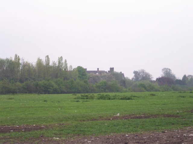
Image: © Bob Embleton Taken: 25 Apr 2005
The hall now hidden behind a modern screen of trees is on the site of the DMV of Eastington - surveyed by the South Worcs Archaeological Group
Images are licensed for reuse under creativecommons.org/licenses/by-sa/2.0
Image Location


Leaflet Map data © OpenStreetMap
Latitude
52.044646
Longitude
-2.241992