Benchmark on #114 Wilford Lane
Introduction
The photograph on this page of Benchmark on #114 Wilford Lane by Roger Templeman as part of the Geograph project.
The Geograph project started in 2005 with the aim of publishing, organising and preserving representative images for every square kilometre of Great Britain, Ireland and the Isle of Man.

There are currently over 7.5m images from over 14,400 individuals and you can help contribute to the project by visiting https://www.geograph.org.uk
Benchmark on #114 Wilford Lane
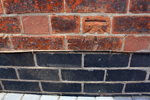
Image: © Roger Templeman Taken: 1 Jun 2018
Ordnance Survey cut mark benchmark levelled at 23.854m above Newlyn Datum
Images are licensed for reuse under creativecommons.org/licenses/by-sa/2.0
Image Location
Latitude
52.928074
Longitude
-1.148317