Grass field south of Stanton House
Introduction
The photograph on this page of Grass field south of Stanton House by Graham Robson as part of the Geograph project.
The Geograph project started in 2005 with the aim of publishing, organising and preserving representative images for every square kilometre of Great Britain, Ireland and the Isle of Man.

There are currently over 7.5m images from over 14,400 individuals and you can help contribute to the project by visiting https://www.geograph.org.uk
Grass field south of Stanton House
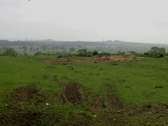
Image: © Graham Robson Taken: 3 Jun 2018
A field of rough grazing ground to the south of Stanton House. The three ring feeders partially filled with fodder suggest that the grass alone isn't enough to sustain the livestock living in the field.
Images are licensed for reuse under creativecommons.org/licenses/by-sa/2.0
Image Location


Leaflet Map data © OpenStreetMap
Latitude
55.209112
Longitude
-1.792545