Road junction west of Beacon Hill
Introduction
The photograph on this page of Road junction west of Beacon Hill by Graham Robson as part of the Geograph project.
The Geograph project started in 2005 with the aim of publishing, organising and preserving representative images for every square kilometre of Great Britain, Ireland and the Isle of Man.

There are currently over 7.5m images from over 14,400 individuals and you can help contribute to the project by visiting https://www.geograph.org.uk
Road junction west of Beacon Hill
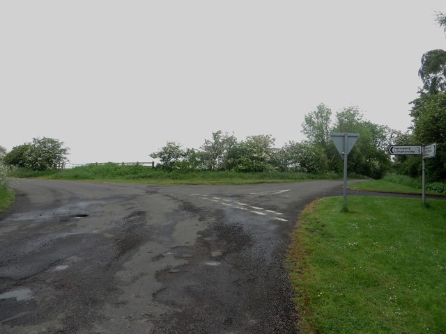
Image: © Graham Robson Taken: 3 Jun 2018
A junction between minor roads to the west of Beacon Hill. The most direct route to Longhorsley can be taken by following the direction on the sign.
Images are licensed for reuse under creativecommons.org/licenses/by-sa/2.0
Image Location


Leaflet Map data © OpenStreetMap
Latitude
55.217903
Longitude
-1.783698