Llwybr Treftadaeth Pontiets / Ponyates Heritage Trail
Introduction
The photograph on this page of Llwybr Treftadaeth Pontiets / Ponyates Heritage Trail by Alan Richards as part of the Geograph project.
The Geograph project started in 2005 with the aim of publishing, organising and preserving representative images for every square kilometre of Great Britain, Ireland and the Isle of Man.

There are currently over 7.5m images from over 14,400 individuals and you can help contribute to the project by visiting https://www.geograph.org.uk
Llwybr Treftadaeth Pontiets / Ponyates Heritage Trail
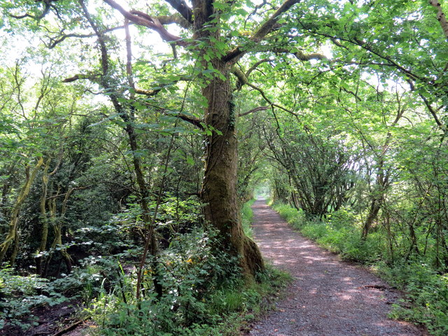
Image: © Alan Richards Taken: 4 Jun 2018
Llwybr cyhoeddys yn rhedeg yn gyfochrog a hen gamlas a chyn Reilffordd Porth Tywyn & Gwendraeth, y ddwy a gludai lo a chalch i lanfeydd Cydweli a Phorth Tywyn A public footpath running parallel with a former canal and the former Burry Port & Gwendraeth Railway, both of which carried coal and limestone to Kidwelly and Burry Port Harbours.
Images are licensed for reuse under creativecommons.org/licenses/by-sa/2.0
Image Location
Latitude
51.7435
Longitude
-4.238795