Path from Hightown to Whitwood Mere
Introduction
The photograph on this page of Path from Hightown to Whitwood Mere by David Pickersgill as part of the Geograph project.
The Geograph project started in 2005 with the aim of publishing, organising and preserving representative images for every square kilometre of Great Britain, Ireland and the Isle of Man.

There are currently over 7.5m images from over 14,400 individuals and you can help contribute to the project by visiting https://www.geograph.org.uk
Path from Hightown to Whitwood Mere
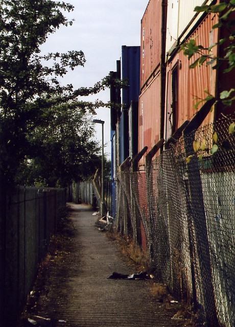
Image: © David Pickersgill Taken: 30 Sep 2007
Originally ran due north along the old Castleford-Whitwood Mere boundary line, linking the population of Whitwood Mere with their parish church http://www.geograph.org.uk/photo/372629 and school. Diverted along a west-north dog-leg, viewed here, in the 1970s when the former United Glass works expanded across its course, though by that time hardly used since most of the houses in Whitwood Mere had long been demolished.
Images are licensed for reuse under creativecommons.org/licenses/by-sa/2.0
Image Location
Latitude
53.723516
Longitude
-1.367695