Footpath gets a Re-tread
Introduction
The photograph on this page of Footpath gets a Re-tread by David Sands as part of the Geograph project.
The Geograph project started in 2005 with the aim of publishing, organising and preserving representative images for every square kilometre of Great Britain, Ireland and the Isle of Man.

There are currently over 7.5m images from over 14,400 individuals and you can help contribute to the project by visiting https://www.geograph.org.uk
Footpath gets a Re-tread
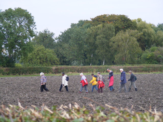
Image: © David Sands Taken: 29 Sep 2007
The ploughed-over footpath between Drayton Beauchamp and Buckland becomes re-defined by a group of dedicated ramblers.
Images are licensed for reuse under creativecommons.org/licenses/by-sa/2.0
Image Location
Latitude
51.800706
Longitude
-0.707383