The edge of Drumkinnon Wood
Introduction
The photograph on this page of The edge of Drumkinnon Wood by Lairich Rig as part of the Geograph project.
The Geograph project started in 2005 with the aim of publishing, organising and preserving representative images for every square kilometre of Great Britain, Ireland and the Isle of Man.

There are currently over 7.5m images from over 14,400 individuals and you can help contribute to the project by visiting https://www.geograph.org.uk
The edge of Drumkinnon Wood
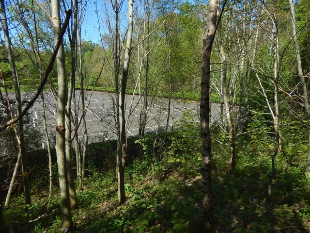
Image: © Lairich Rig Taken: 14 May 2018
This is an outlying part of the wood. The car park is the one shown in Image, taken from what is, in the present picture, a point left of centre in the background. The two pictures are views in opposite directions. As noted in the description of the other picture, the outline of the car park is marked on the 1:25000 map. See Image for a view in the opposite direction, from (roughly) the same place as the present picture.
Images are licensed for reuse under creativecommons.org/licenses/by-sa/2.0
Image Location
Latitude
56.003323
Longitude
-4.590569