Development site on Cole Valley Road
Introduction
The photograph on this page of Development site on Cole Valley Road by Richard Law as part of the Geograph project.
The Geograph project started in 2005 with the aim of publishing, organising and preserving representative images for every square kilometre of Great Britain, Ireland and the Isle of Man.

There are currently over 7.5m images from over 14,400 individuals and you can help contribute to the project by visiting https://www.geograph.org.uk
Development site on Cole Valley Road
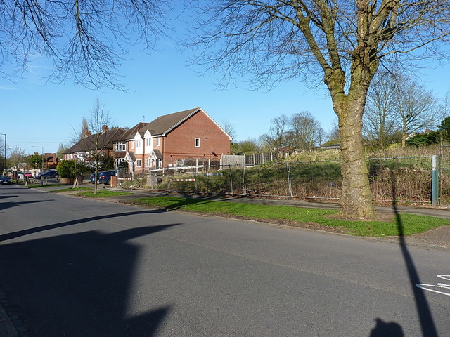
Image: © Richard Law Taken: 18 Apr 2018
Google Streetview dated 2012 suggests this site has been a potential building plot for at least 6 years, and was a very overgrown plot prior to that. The house on the left of the photo has been built since the most recent imagery available through Streetview, and replaces a white-painted single detached property which had a tall brick chimney.
Images are licensed for reuse under creativecommons.org/licenses/by-sa/2.0
Image Location
Latitude
52.427976
Longitude
-1.855977