Afon Llafar
Introduction
The photograph on this page of Afon Llafar by Eirian Evans as part of the Geograph project.
The Geograph project started in 2005 with the aim of publishing, organising and preserving representative images for every square kilometre of Great Britain, Ireland and the Isle of Man.

There are currently over 7.5m images from over 14,400 individuals and you can help contribute to the project by visiting https://www.geograph.org.uk
Afon Llafar
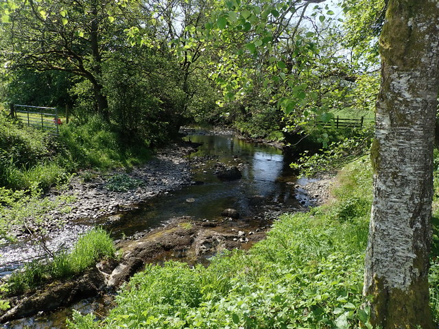
Image: © Eirian Evans Taken: 23 May 2018
Afon Llafar is a small river which rises on the eastern slopes of Arenig Fawr, flows south-east through the hamlet of Parc and into Bala Lake
Images are licensed for reuse under creativecommons.org/licenses/by-sa/2.0
Image Location
Latitude
52.885055
Longitude
-3.657403