St Jude's Place, Manningham
Introduction
The photograph on this page of St Jude's Place, Manningham by Stephen Craven as part of the Geograph project.
The Geograph project started in 2005 with the aim of publishing, organising and preserving representative images for every square kilometre of Great Britain, Ireland and the Isle of Man.

There are currently over 7.5m images from over 14,400 individuals and you can help contribute to the project by visiting https://www.geograph.org.uk
St Jude's Place, Manningham
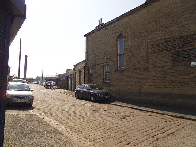
Image: © Stephen Craven Taken: 27 May 2018
This dead-end setted street is named after St Jude's church (Anglican) at its western end, built in 1843 "for the wealthier classes from Hanover Square and Peel Square" and demolished in 1968 by which time Manningham was far more deprived. Its site is now occupied by a car park. In the distance is the chimney which is all that remains of Lumb Lane Mill (a.k.a. Drummond's Mill) Image
Images are licensed for reuse under creativecommons.org/licenses/by-sa/2.0
Image Location
Latitude
53.801072
Longitude
-1.760225