The River Parrett from the M5
Introduction
The photograph on this page of The River Parrett from the M5 by Bill Boaden as part of the Geograph project.
The Geograph project started in 2005 with the aim of publishing, organising and preserving representative images for every square kilometre of Great Britain, Ireland and the Isle of Man.

There are currently over 7.5m images from over 14,400 individuals and you can help contribute to the project by visiting https://www.geograph.org.uk
The River Parrett from the M5
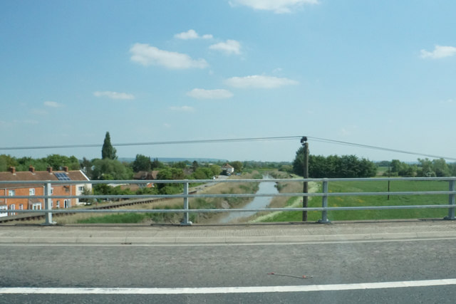
Image: © Bill Boaden Taken: 19 May 2018
The view from a raised section of the M5 which crosses the River Parrett together with the Bridgwater and Taunton Canal and the railway between Taunton and Bristol.
Images are licensed for reuse under creativecommons.org/licenses/by-sa/2.0
Image Location
Latitude
51.11362
Longitude
-2.977529