34 & 36 Church Street
Introduction
The photograph on this page of 34 & 36 Church Street by Michael Dibb as part of the Geograph project.
The Geograph project started in 2005 with the aim of publishing, organising and preserving representative images for every square kilometre of Great Britain, Ireland and the Isle of Man.

There are currently over 7.5m images from over 14,400 individuals and you can help contribute to the project by visiting https://www.geograph.org.uk
34 & 36 Church Street
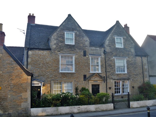
Image: © Michael Dibb Taken: 20 May 2018
This late 17th/early 18th century detached house is now two dwellings. Listed (as 34 & 34A), grade II, with details at https://www.historicengland.org.uk/listing/the-list/list-entry/1286072
Images are licensed for reuse under creativecommons.org/licenses/by-sa/2.0
Image Location
Latitude
51.373083
Longitude
-2.140022