Overflow weir, Wyrley & Essington Canal
Introduction
The photograph on this page of Overflow weir, Wyrley & Essington Canal by Christine Johnstone as part of the Geograph project.
The Geograph project started in 2005 with the aim of publishing, organising and preserving representative images for every square kilometre of Great Britain, Ireland and the Isle of Man.

There are currently over 7.5m images from over 14,400 individuals and you can help contribute to the project by visiting https://www.geograph.org.uk
Overflow weir, Wyrley & Essington Canal
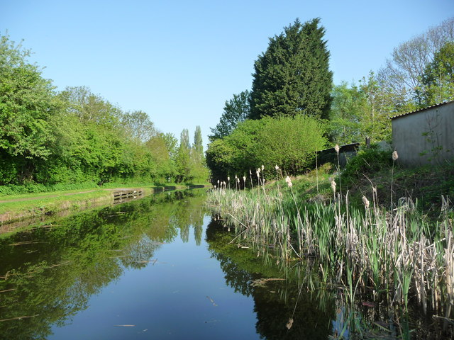
Image: © Christine Johnstone Taken: 7 May 2018
A row of slits in the concrete edging, under the towpath.
Images are licensed for reuse under creativecommons.org/licenses/by-sa/2.0
Image Location
Latitude
52.606948
Longitude
-2.058285