New Apartments, John Harrison Way
Introduction
The photograph on this page of New Apartments, John Harrison Way by Des Blenkinsopp as part of the Geograph project.
The Geograph project started in 2005 with the aim of publishing, organising and preserving representative images for every square kilometre of Great Britain, Ireland and the Isle of Man.

There are currently over 7.5m images from over 14,400 individuals and you can help contribute to the project by visiting https://www.geograph.org.uk
New Apartments, John Harrison Way
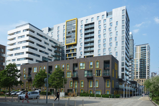
Image: © Des Blenkinsopp Taken: 22 May 2018
The most likely John Harrison to have a street named in this former maritime district is this one. Wikipedia says :- "John Harrison (3 April [O.S. 24 March] 1693 – 24 March 1776) was a self-educated English carpenter and clockmaker who invented a marine chronometer, a long-sought-after device for solving the problem of calculating longitude while at sea." There are undoubtedly other John Harrisons, so this is only a guess.
Images are licensed for reuse under creativecommons.org/licenses/by-sa/2.0
Image Location
Latitude
51.496332
Longitude
0.013672