Former road off A3014
Introduction
The photograph on this page of Former road off A3014 by Derek Harper as part of the Geograph project.
The Geograph project started in 2005 with the aim of publishing, organising and preserving representative images for every square kilometre of Great Britain, Ireland and the Isle of Man.

There are currently over 7.5m images from over 14,400 individuals and you can help contribute to the project by visiting https://www.geograph.org.uk
Former road off A3014
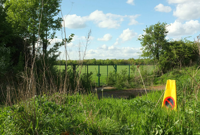
Image: © Derek Harper Taken: 26 Apr 2018
This is where the former course of Holloway Lane diverges from the modern A3014. It re-emerges as a still-used road in about 70 metres, now called Holloway Close. The row of trees across the field borders the M4.
Images are licensed for reuse under creativecommons.org/licenses/by-sa/2.0
Image Location
Latitude
51.49161
Longitude
-0.471554