What the plough turned up
Introduction
The photograph on this page of What the plough turned up by Jonathan Thacker as part of the Geograph project.
The Geograph project started in 2005 with the aim of publishing, organising and preserving representative images for every square kilometre of Great Britain, Ireland and the Isle of Man.

There are currently over 7.5m images from over 14,400 individuals and you can help contribute to the project by visiting https://www.geograph.org.uk
What the plough turned up
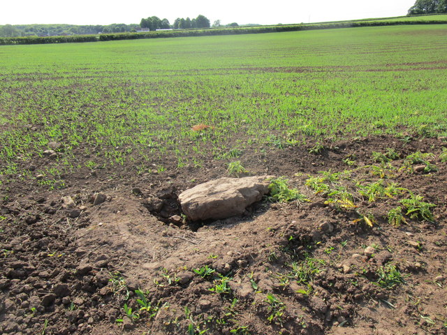
Image: © Jonathan Thacker Taken: 26 May 2018
This won't have done the plough much good, though I'm surprised that the farmer hasn't removed it before sowing.
Images are licensed for reuse under creativecommons.org/licenses/by-sa/2.0
Image Location
Latitude
53.238183
Longitude
-1.197015