Arable field beside Eachwick Moor
Introduction
The photograph on this page of Arable field beside Eachwick Moor by Graham Robson as part of the Geograph project.
The Geograph project started in 2005 with the aim of publishing, organising and preserving representative images for every square kilometre of Great Britain, Ireland and the Isle of Man.

There are currently over 7.5m images from over 14,400 individuals and you can help contribute to the project by visiting https://www.geograph.org.uk
Arable field beside Eachwick Moor
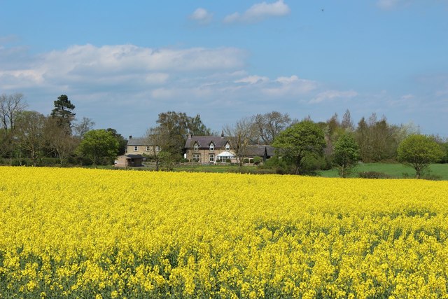
Image: © Graham Robson Taken: 6 May 2018
An arable field containing a growing crop of oilseed rape beside the farm at Eachwick Moor. Across the field the farmhouse at Eachwick Moor can be seen.
Images are licensed for reuse under creativecommons.org/licenses/by-sa/2.0
Image Location
Latitude
55.019648
Longitude
-1.825116