Roadside farm at Eachwick House
Introduction
The photograph on this page of Roadside farm at Eachwick House by Graham Robson as part of the Geograph project.
The Geograph project started in 2005 with the aim of publishing, organising and preserving representative images for every square kilometre of Great Britain, Ireland and the Isle of Man.

There are currently over 7.5m images from over 14,400 individuals and you can help contribute to the project by visiting https://www.geograph.org.uk
Roadside farm at Eachwick House
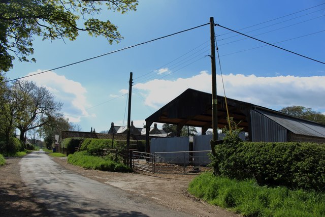
Image: © Graham Robson Taken: 6 May 2018
A collection of farm buildings and houses at Eachwick House are situated on western side of this minor road. The public footpath sign has seen better days and has quite a lean.
Images are licensed for reuse under creativecommons.org/licenses/by-sa/2.0
Image Location
Latitude
55.022886
Longitude
-1.826979