Higher Lodge
Introduction
The photograph on this page of Higher Lodge by Derek Harper as part of the Geograph project.
The Geograph project started in 2005 with the aim of publishing, organising and preserving representative images for every square kilometre of Great Britain, Ireland and the Isle of Man.

There are currently over 7.5m images from over 14,400 individuals and you can help contribute to the project by visiting https://www.geograph.org.uk
Higher Lodge
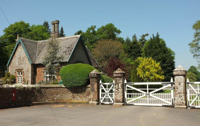
Image: © Derek Harper Taken: 23 May 2018
The go to view for this square - see also http://www.geograph.org.uk/search.php?i=84192638 - but irresistible on a beautiful May morning.
Images are licensed for reuse under creativecommons.org/licenses/by-sa/2.0
Image Location
Latitude
50.874506
Longitude
-4.07705