The River Ayr Way
Introduction
The photograph on this page of The River Ayr Way by Mary and Angus Hogg as part of the Geograph project.
The Geograph project started in 2005 with the aim of publishing, organising and preserving representative images for every square kilometre of Great Britain, Ireland and the Isle of Man.

There are currently over 7.5m images from over 14,400 individuals and you can help contribute to the project by visiting https://www.geograph.org.uk
The River Ayr Way
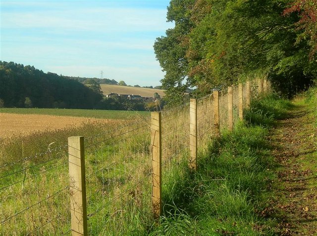
Image: © Mary and Angus Hogg Taken: 5 Oct 2007
Here the Way follows the edge of Holm Bank, above the Floodplain of Enterkine Holm. Dalmore is visible on the other side of the river.
Images are licensed for reuse under creativecommons.org/licenses/by-sa/2.0
Image Location
Latitude
55.48194
Longitude
-4.480416