From the flood basin to the Beetham
Introduction
The photograph on this page of From the flood basin to the Beetham by Carroll Pierce as part of the Geograph project.
The Geograph project started in 2005 with the aim of publishing, organising and preserving representative images for every square kilometre of Great Britain, Ireland and the Isle of Man.

There are currently over 7.5m images from over 14,400 individuals and you can help contribute to the project by visiting https://www.geograph.org.uk
From the flood basin to the Beetham
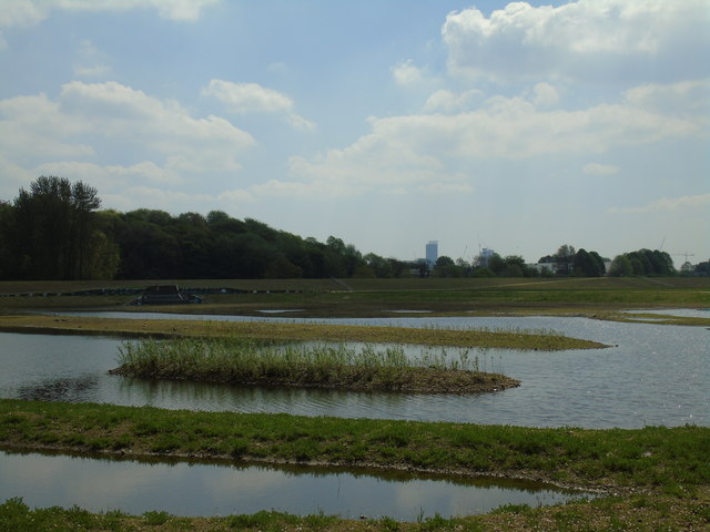
Image: © Carroll Pierce Taken: 6 May 2018
Taken on the northern section of the walkway around the newly-constructed flood basin at Castle Irwell, Salford, Greater Manchester, I am looking south towards the top of Deansgate in Manchester, landmarked by the Beetham Tower.
Images are licensed for reuse under creativecommons.org/licenses/by-sa/2.0
Image Location
Latitude
53.506824
Longitude
-2.269548