Lane near Combeshead Farm
Introduction
The photograph on this page of Lane near Combeshead Farm by Derek Harper as part of the Geograph project.
The Geograph project started in 2005 with the aim of publishing, organising and preserving representative images for every square kilometre of Great Britain, Ireland and the Isle of Man.

There are currently over 7.5m images from over 14,400 individuals and you can help contribute to the project by visiting https://www.geograph.org.uk
Lane near Combeshead Farm
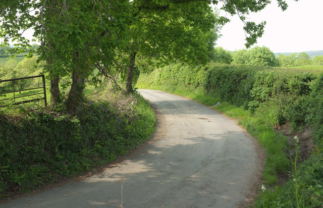
Image: © Derek Harper Taken: 21 May 2018
The lane to Ranscombe makes a sharp bend here by the gateway (off to the right) where Image was taken.
Images are licensed for reuse under creativecommons.org/licenses/by-sa/2.0
Image Location
Latitude
50.619548
Longitude
-3.603659