Old Upton Road railway bridge above Upton Station
Introduction
The photograph on this page of Old Upton Road railway bridge above Upton Station by John S Turner as part of the Geograph project.
The Geograph project started in 2005 with the aim of publishing, organising and preserving representative images for every square kilometre of Great Britain, Ireland and the Isle of Man.

There are currently over 7.5m images from over 14,400 individuals and you can help contribute to the project by visiting https://www.geograph.org.uk
Old Upton Road railway bridge above Upton Station
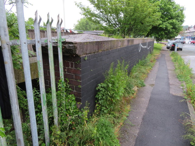
Image: © John S Turner Taken: 25 May 2018
Old Upton Road has been by-passed here, so this old railway bridge is just a footpath and provides access to Upton Station. There is an Ordnance Survey bench mark on the parapet behind the nearest large clump of weeds - Image
Images are licensed for reuse under creativecommons.org/licenses/by-sa/2.0
Image Location
Latitude
53.38679
Longitude
-3.084311