Sign for The Tappit Hen, Dunblane
Introduction
The photograph on this page of Sign for The Tappit Hen, Dunblane by Richard Sutcliffe as part of the Geograph project.
The Geograph project started in 2005 with the aim of publishing, organising and preserving representative images for every square kilometre of Great Britain, Ireland and the Isle of Man.

There are currently over 7.5m images from over 14,400 individuals and you can help contribute to the project by visiting https://www.geograph.org.uk
Sign for The Tappit Hen, Dunblane
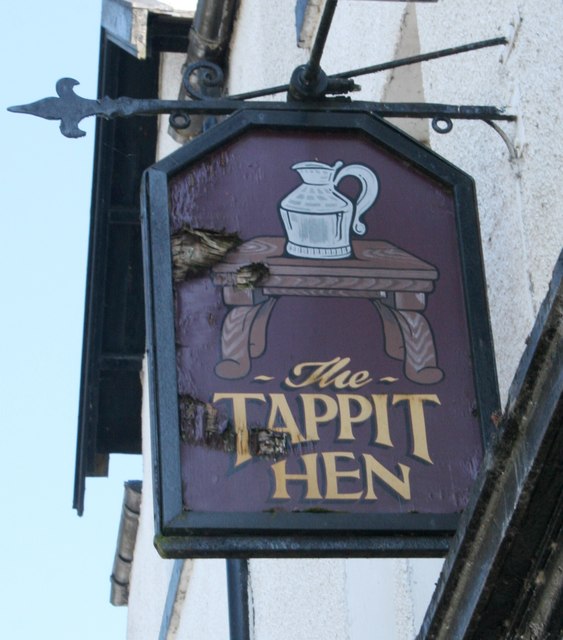
Image: © Richard Sutcliffe Taken: 24 May 2018
The form of pewter measure known as the tappit hen is peculiar to Scotland. The name is applied to measures characterised by having a body comprising a small straight-sided top section, a larger straight-sided bottom section and a curved section between. Typically, the measure has a domed lid that is raised by means of an erect thumbpiece located on a hinge at the top of the handle. (The early evolution of the tappit hen. Peter Spencer Davies, George Dalgleish and David Lamb. Proc Soc Antiq Scot 141 (2011), 279–292.)
Images are licensed for reuse under creativecommons.org/licenses/by-sa/2.0
Image Location
Latitude
56.189149
Longitude
-3.96388