OS 1GL Bolt: Kenmore, Church
Introduction
The photograph on this page of OS 1GL Bolt: Kenmore, Church by thejackrustles as part of the Geograph project.
The Geograph project started in 2005 with the aim of publishing, organising and preserving representative images for every square kilometre of Great Britain, Ireland and the Isle of Man.

There are currently over 7.5m images from over 14,400 individuals and you can help contribute to the project by visiting https://www.geograph.org.uk
OS 1GL Bolt: Kenmore, Church
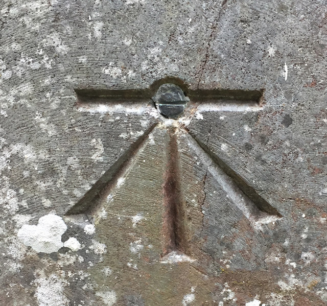
Image: © thejackrustles Taken: 20 May 2018
Bolt in North-east corner of Kenmore Church Tower; 1.57 ft. above surface [1GL, Leeks to Logierait, Mark No. 34] =?= CUT MARK N ANG CH (ODN 120.9507m, AGL 0.5m).
Images are licensed for reuse under creativecommons.org/licenses/by-sa/2.0
Image Location
Latitude
56.584585
Longitude
-4.000466