18 High Street
Introduction
The photograph on this page of 18 High Street by Michael Dibb as part of the Geograph project.
The Geograph project started in 2005 with the aim of publishing, organising and preserving representative images for every square kilometre of Great Britain, Ireland and the Isle of Man.

There are currently over 7.5m images from over 14,400 individuals and you can help contribute to the project by visiting https://www.geograph.org.uk
18 High Street
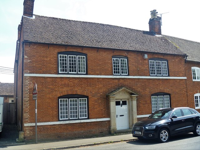
Image: © Michael Dibb Taken: 18 May 2018
This late 18th or early 19th century house has some fine fenestration. Listed, grade II, with details at: https://www.historicengland.org.uk/listing/the-list/list-entry/1033886
Images are licensed for reuse under creativecommons.org/licenses/by-sa/2.0
Image Location
Latitude
51.385653
Longitude
-2.053983