Farmland near Dunsbeare
Introduction
The photograph on this page of Farmland near Dunsbeare by Derek Harper as part of the Geograph project.
The Geograph project started in 2005 with the aim of publishing, organising and preserving representative images for every square kilometre of Great Britain, Ireland and the Isle of Man.

There are currently over 7.5m images from over 14,400 individuals and you can help contribute to the project by visiting https://www.geograph.org.uk
Farmland near Dunsbeare
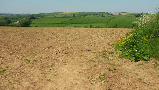
Image: © Derek Harper Taken: 23 May 2018
Taken from a lane that runs past the buildings across the valley in Image There are cattle in the same field in this image, in the field on this side of the central tree on the next ridge.
Images are licensed for reuse under creativecommons.org/licenses/by-sa/2.0
Image Location
Latitude
50.899156
Longitude
-4.111711