Lane in East Williamston
Introduction
The photograph on this page of Lane in East Williamston by Humphrey Bolton as part of the Geograph project.
The Geograph project started in 2005 with the aim of publishing, organising and preserving representative images for every square kilometre of Great Britain, Ireland and the Isle of Man.

There are currently over 7.5m images from over 14,400 individuals and you can help contribute to the project by visiting https://www.geograph.org.uk
Lane in East Williamston
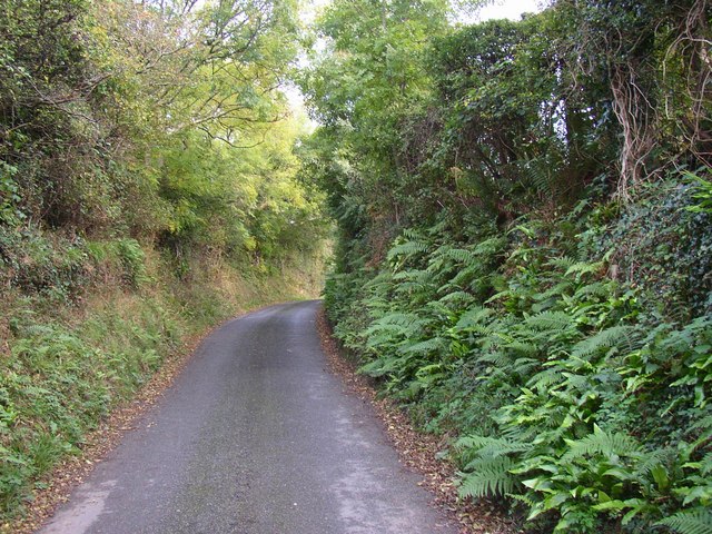
Image: © Humphrey Bolton Taken: 2 Oct 2007
Most of the village is on a lane that loops away from the old main road and back again. This is the narrow part on the north-east side.
Images are licensed for reuse under creativecommons.org/licenses/by-sa/2.0
Image Location


Leaflet Map data © OpenStreetMap
Latitude
51.712302
Longitude
-4.754505