Erection of a building, Pier Road
Introduction
The photograph on this page of Erection of a building, Pier Road by John Baker as part of the Geograph project.
The Geograph project started in 2005 with the aim of publishing, organising and preserving representative images for every square kilometre of Great Britain, Ireland and the Isle of Man.

There are currently over 7.5m images from over 14,400 individuals and you can help contribute to the project by visiting https://www.geograph.org.uk
Erection of a building, Pier Road
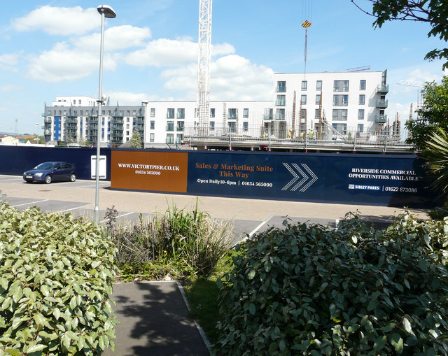
Image: © John Baker Taken: 9 May 2018
Planning permission has been approved, with conditions, by Medway Council under application number MC/09/0698 for “approval of reserved matters (external appearance, design and landscaping) of planning permission MC2004/1214 for Block M (part of Phase 1 development under permission MC2006/1283) now to provide 43 shared ownership flats and 60 care assisted residential flats with ancillary facilities, landscaping and parking. (amended total development for Phase 1 is 3, 54 residential units, 4 live/work units, 709 square metres A3 (restaurant) use, 165 square metres A1 (retail) use, Harbourmasters and public riverside walk with associated landscaping and car parking)”.
Images are licensed for reuse under creativecommons.org/licenses/by-sa/2.0
Image Location
Latitude
51.395237
Longitude
0.554214