Middleton: towards Holy Trinity
Introduction
The photograph on this page of Middleton: towards Holy Trinity by John Sutton as part of the Geograph project.
The Geograph project started in 2005 with the aim of publishing, organising and preserving representative images for every square kilometre of Great Britain, Ireland and the Isle of Man.

There are currently over 7.5m images from over 14,400 individuals and you can help contribute to the project by visiting https://www.geograph.org.uk
Middleton: towards Holy Trinity
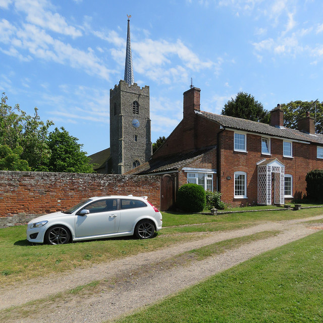
Image: © John Sutton Taken: 22 May 2018
"W tower with tall flushwork-panelled battlements. Recessed lead needle-spire" (Nikolaus Pevsner).
Images are licensed for reuse under creativecommons.org/licenses/by-sa/2.0
Image Location
Latitude
52.254501
Longitude
1.55835