The A30 near Exeter Airport
Introduction
The photograph on this page of The A30 near Exeter Airport by Martin Bodman as part of the Geograph project.
The Geograph project started in 2005 with the aim of publishing, organising and preserving representative images for every square kilometre of Great Britain, Ireland and the Isle of Man.

There are currently over 7.5m images from over 14,400 individuals and you can help contribute to the project by visiting https://www.geograph.org.uk
The A30 near Exeter Airport
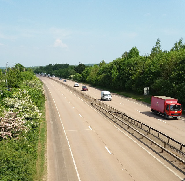
Image: © Martin Bodman Taken: 21 May 2018
No traffic eastbound on 21 May 2018 as the carriageway was closed for at least seven hours following a fatal accident
Images are licensed for reuse under creativecommons.org/licenses/by-sa/2.0
Image Location
Latitude
50.728454
Longitude
-3.409148