Croftfoot Drive and Croftfoot Road
Introduction
The photograph on this page of Croftfoot Drive and Croftfoot Road by Alec MacKinnon as part of the Geograph project.
The Geograph project started in 2005 with the aim of publishing, organising and preserving representative images for every square kilometre of Great Britain, Ireland and the Isle of Man.

There are currently over 7.5m images from over 14,400 individuals and you can help contribute to the project by visiting https://www.geograph.org.uk
Croftfoot Drive and Croftfoot Road
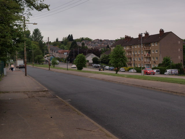
Image: © Alec MacKinnon Taken: 20 May 2018
Croftfoot Drive is in the foreground and Croftfoot Road, a main thoroughfare, is beyond. Tenements typical of the Castlemilk area are on the other side of Croftfoot Road.
Images are licensed for reuse under creativecommons.org/licenses/by-sa/2.0
Image Location
Latitude
55.812202
Longitude
-4.225106