Path onto Castlemilk Bridge
Introduction
The photograph on this page of Path onto Castlemilk Bridge by Alec MacKinnon as part of the Geograph project.
The Geograph project started in 2005 with the aim of publishing, organising and preserving representative images for every square kilometre of Great Britain, Ireland and the Isle of Man.

There are currently over 7.5m images from over 14,400 individuals and you can help contribute to the project by visiting https://www.geograph.org.uk
Path onto Castlemilk Bridge
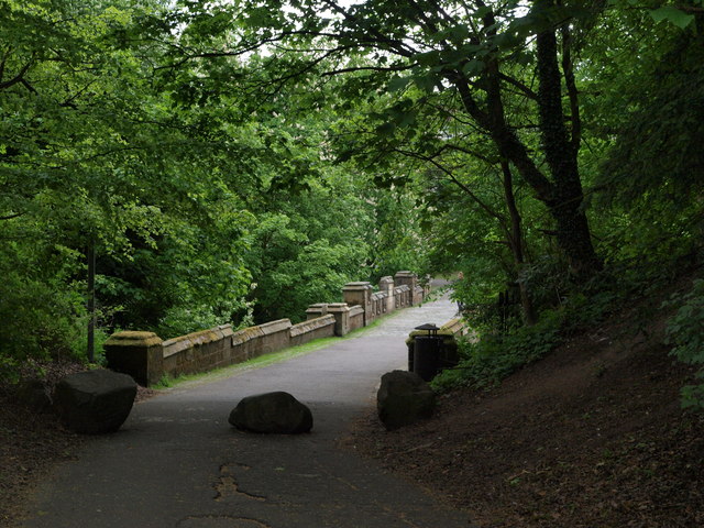
Image: © Alec MacKinnon Taken: 20 May 2018
Beside Castlemilk Stables this road heads down among trees to Castlemilk Bridge (Image).
Images are licensed for reuse under creativecommons.org/licenses/by-sa/2.0
Image Location
Latitude
55.808138
Longitude
-4.221203