A balancing pond at the top of Watkins Way
Introduction
The photograph on this page of A balancing pond at the top of Watkins Way by Roger A Smith as part of the Geograph project.
The Geograph project started in 2005 with the aim of publishing, organising and preserving representative images for every square kilometre of Great Britain, Ireland and the Isle of Man.

There are currently over 7.5m images from over 14,400 individuals and you can help contribute to the project by visiting https://www.geograph.org.uk
A balancing pond at the top of Watkins Way
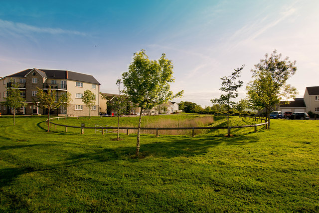
Image: © Roger A Smith Taken: 17 May 2018
"A balancing lake (also "flood basin") is a term used in the U.K. describing an element of an urban drainage system used to control flooding by temporarily storing flood waters. The term balancing pond is also used, though typically for smaller storage facilities for streams and brooks." Wikipedia
Images are licensed for reuse under creativecommons.org/licenses/by-sa/2.0
Image Location
Latitude
51.018507
Longitude
-4.187083