South end of Arrowfield Road, Chorlton
Introduction
The photograph on this page of South end of Arrowfield Road, Chorlton by Richard Vince as part of the Geograph project.
The Geograph project started in 2005 with the aim of publishing, organising and preserving representative images for every square kilometre of Great Britain, Ireland and the Isle of Man.

There are currently over 7.5m images from over 14,400 individuals and you can help contribute to the project by visiting https://www.geograph.org.uk
South end of Arrowfield Road, Chorlton
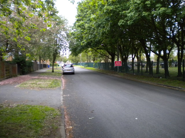
Image: © Richard Vince Taken: 12 May 2018
Seen from close to the junction with Nell Lane, with part of Manchester Southern Cemetery on the right.
Images are licensed for reuse under creativecommons.org/licenses/by-sa/2.0
Image Location
Latitude
53.432062
Longitude
-2.259442