Fire path at Marchfield Avenue
Introduction
The photograph on this page of Fire path at Marchfield Avenue by Thomas Nugent as part of the Geograph project.
The Geograph project started in 2005 with the aim of publishing, organising and preserving representative images for every square kilometre of Great Britain, Ireland and the Isle of Man.

There are currently over 7.5m images from over 14,400 individuals and you can help contribute to the project by visiting https://www.geograph.org.uk
Fire path at Marchfield Avenue
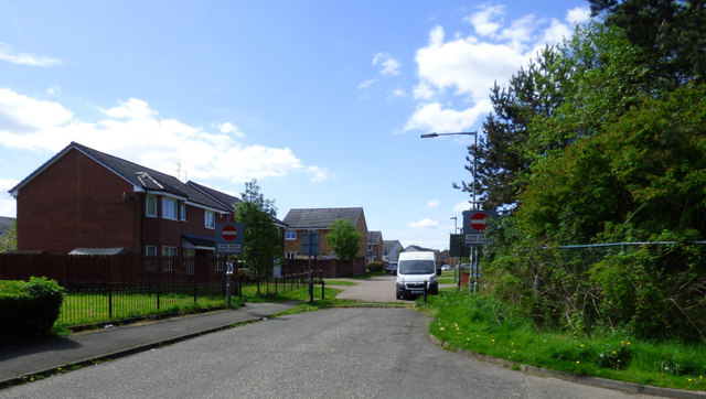
Image: © Thomas Nugent Taken: 14 May 2018
The sign states that the path should be kept clear, an instruction which is often ignored. Osprey Road is in the background.
Images are licensed for reuse under creativecommons.org/licenses/by-sa/2.0
Image Location
Latitude
55.859763
Longitude
-4.433015