Daw End Branch, south of Walsall Wood Bridge
Introduction
The photograph on this page of Daw End Branch, south of Walsall Wood Bridge by Christine Johnstone as part of the Geograph project.
The Geograph project started in 2005 with the aim of publishing, organising and preserving representative images for every square kilometre of Great Britain, Ireland and the Isle of Man.

There are currently over 7.5m images from over 14,400 individuals and you can help contribute to the project by visiting https://www.geograph.org.uk
Daw End Branch, south of Walsall Wood Bridge
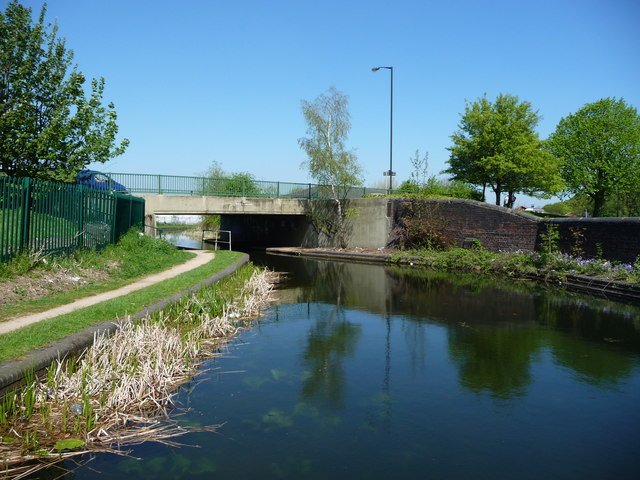
Image: © Christine Johnstone Taken: 6 May 2018
The water is so clear you can see plants growing under the surface. This is partly due to less pollution, and partly due to so few boats on the move.
Images are licensed for reuse under creativecommons.org/licenses/by-sa/2.0
Image Location
Latitude
52.624564
Longitude
-1.934367