East side of Parfitt Place, Blackwood
Introduction
The photograph on this page of East side of Parfitt Place, Blackwood by Jaggery as part of the Geograph project.
The Geograph project started in 2005 with the aim of publishing, organising and preserving representative images for every square kilometre of Great Britain, Ireland and the Isle of Man.

There are currently over 7.5m images from over 14,400 individuals and you can help contribute to the project by visiting https://www.geograph.org.uk
East side of Parfitt Place, Blackwood
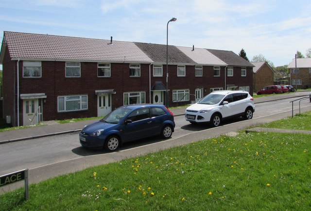
Image: © Jaggery Taken: 17 May 2018
Parfitt Place is a cul-de-sac on the south side of Apollo Way. The houses on this side are set slightly below road level, accessed by the steps seen here. https://www.geograph.org.uk/photo/5776933
Images are licensed for reuse under creativecommons.org/licenses/by-sa/2.0
Image Location
Latitude
51.666775
Longitude
-3.20325