Warning signs at the southeast end of Gellihaf Road, Fleur-de-lis
Introduction
The photograph on this page of Warning signs at the southeast end of Gellihaf Road, Fleur-de-lis by Jaggery as part of the Geograph project.
The Geograph project started in 2005 with the aim of publishing, organising and preserving representative images for every square kilometre of Great Britain, Ireland and the Isle of Man.

There are currently over 7.5m images from over 14,400 individuals and you can help contribute to the project by visiting https://www.geograph.org.uk
Warning signs at the southeast end of Gellihaf Road, Fleur-de-lis
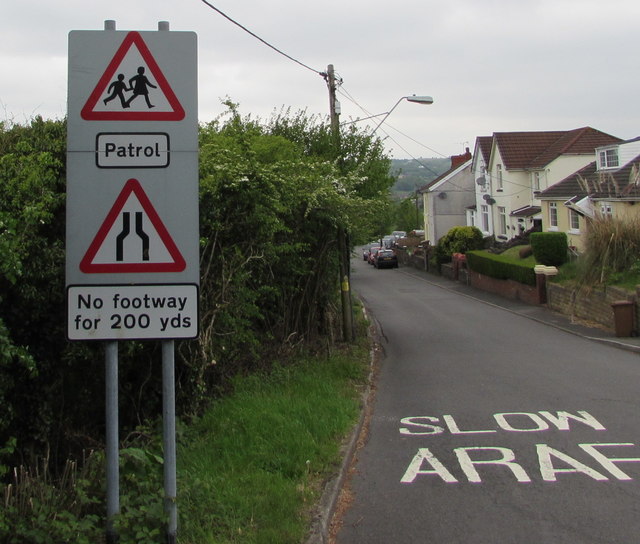
Image: © Jaggery Taken: 16 May 2018
Located here https://www.geograph.org.uk/photo/5776365 facing the A4049 junction.
Images are licensed for reuse under creativecommons.org/licenses/by-sa/2.0
Image Location
Latitude
51.658614
Longitude
-3.218647