Allotments viewed from railway bridge
Introduction
The photograph on this page of Allotments viewed from railway bridge by Lis Burke as part of the Geograph project.
The Geograph project started in 2005 with the aim of publishing, organising and preserving representative images for every square kilometre of Great Britain, Ireland and the Isle of Man.

There are currently over 7.5m images from over 14,400 individuals and you can help contribute to the project by visiting https://www.geograph.org.uk
Allotments viewed from railway bridge
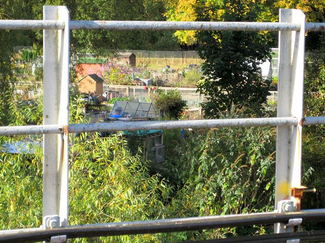
Image: © Lis Burke Taken: 7 Oct 2007
Looking across the railway track from the footbridge at the allotments on Moncreiffe Island.
Images are licensed for reuse under creativecommons.org/licenses/by-sa/2.0
Image Location


Leaflet Map data © OpenStreetMap
Latitude
56.390183
Longitude
-3.423751