Track to Gilfach
Introduction
The photograph on this page of Track to Gilfach by Zorba the Geek as part of the Geograph project.
The Geograph project started in 2005 with the aim of publishing, organising and preserving representative images for every square kilometre of Great Britain, Ireland and the Isle of Man.

There are currently over 7.5m images from over 14,400 individuals and you can help contribute to the project by visiting https://www.geograph.org.uk
Track to Gilfach
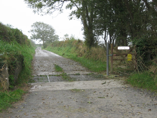
Image: © Zorba the Geek Taken: 3 Oct 2007
Start of the long track down to Gilfach, first crossing a so-called cattle grid, more probably intended to deter sheep from wandering.
Images are licensed for reuse under creativecommons.org/licenses/by-sa/2.0
Image Location
Latitude
52.107371
Longitude
-4.458081