Cranford Close, Cottenham Park
Introduction
The photograph on this page of Cranford Close, Cottenham Park by Stephen McKay as part of the Geograph project.
The Geograph project started in 2005 with the aim of publishing, organising and preserving representative images for every square kilometre of Great Britain, Ireland and the Isle of Man.

There are currently over 7.5m images from over 14,400 individuals and you can help contribute to the project by visiting https://www.geograph.org.uk
Cranford Close, Cottenham Park
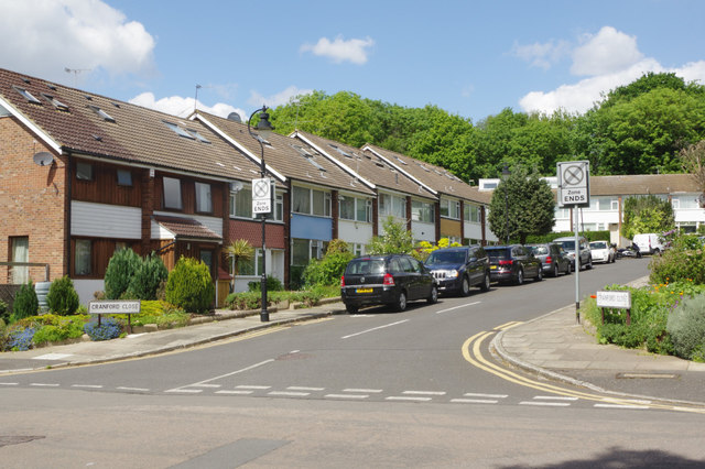
Image: © Stephen McKay Taken: 10 May 2018
Somewhat out of keeping with the surrounding area is this cul-de-sac of terraced houses dating from the late 1960s/early 1970s period.
Images are licensed for reuse under creativecommons.org/licenses/by-sa/2.0
Image Location
Latitude
51.415483
Longitude
-0.237241