From 50 to 40 at the southern edge of Cwmdu, Powys
Introduction
The photograph on this page of From 50 to 40 at the southern edge of Cwmdu, Powys by Jaggery as part of the Geograph project.
The Geograph project started in 2005 with the aim of publishing, organising and preserving representative images for every square kilometre of Great Britain, Ireland and the Isle of Man.

There are currently over 7.5m images from over 14,400 individuals and you can help contribute to the project by visiting https://www.geograph.org.uk
From 50 to 40 at the southern edge of Cwmdu, Powys
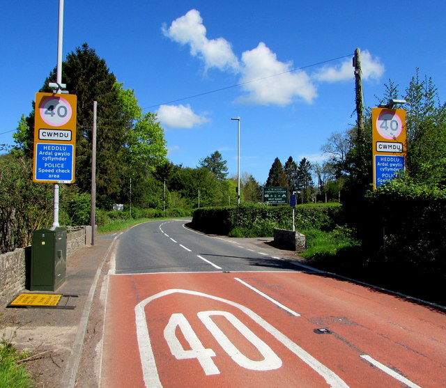
Image: © Jaggery Taken: 13 May 2018
The 50mph speed limit on the A479 from Tretower drops to 40mph at the edge of Cwmdu. The blue part of each sign shows POLICE - Speed check area and the Welsh equivalent. A dark green telecoms cabinet is on the left.
Images are licensed for reuse under creativecommons.org/licenses/by-sa/2.0
Image Location
Latitude
51.901
Longitude
-3.194819