Up North Sherwood Street
Introduction
The photograph on this page of Up North Sherwood Street by John Sutton as part of the Geograph project.
The Geograph project started in 2005 with the aim of publishing, organising and preserving representative images for every square kilometre of Great Britain, Ireland and the Isle of Man.

There are currently over 7.5m images from over 14,400 individuals and you can help contribute to the project by visiting https://www.geograph.org.uk
Up North Sherwood Street
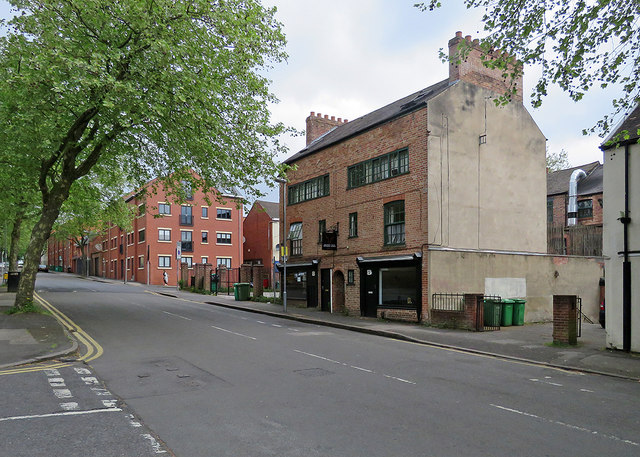
Image: © John Sutton Taken: 12 May 2018
The long rows of second-floor windows show that the houses on the right, now a restaurant, were originally the homes and workshops of framework knitters.
Images are licensed for reuse under creativecommons.org/licenses/by-sa/2.0
Image Location
Latitude
52.962259
Longitude
-1.151815