West side of the Farmers Arms, Cwmdu, Powys
Introduction
The photograph on this page of West side of the Farmers Arms, Cwmdu, Powys by Jaggery as part of the Geograph project.
The Geograph project started in 2005 with the aim of publishing, organising and preserving representative images for every square kilometre of Great Britain, Ireland and the Isle of Man.

There are currently over 7.5m images from over 14,400 individuals and you can help contribute to the project by visiting https://www.geograph.org.uk
West side of the Farmers Arms, Cwmdu, Powys
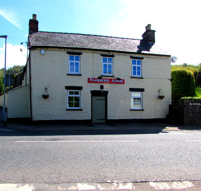
Image: © Jaggery Taken: 13 May 2018
Pub viewed across the A479, the main road through the village, on May 13th 2018. The Friends of the Farmers Arms website states that on "Thursday 12th April 2018, we completed our purchase of the Farmers Arms and the pub is now owned by the local community".
Images are licensed for reuse under creativecommons.org/licenses/by-sa/2.0
Image Location
Latitude
51.906226
Longitude
-3.193649