Rhiangoll below the west side of the A479 north of Cwmdu, Powys
Introduction
The photograph on this page of Rhiangoll below the west side of the A479 north of Cwmdu, Powys by Jaggery as part of the Geograph project.
The Geograph project started in 2005 with the aim of publishing, organising and preserving representative images for every square kilometre of Great Britain, Ireland and the Isle of Man.

There are currently over 7.5m images from over 14,400 individuals and you can help contribute to the project by visiting https://www.geograph.org.uk
Rhiangoll below the west side of the A479 north of Cwmdu, Powys
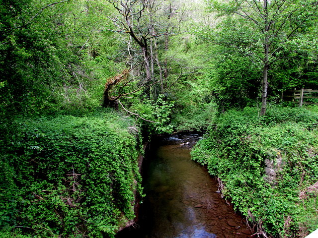
Image: © Jaggery Taken: 13 May 2018
Viewed from this https://www.geograph.org.uk/photo/5772284 bridge. Rhiangoll is a tributary of the River Usk.
Images are licensed for reuse under creativecommons.org/licenses/by-sa/2.0
Image Location
Latitude
51.920585
Longitude
-3.187487