Wellfield Road
Introduction
The photograph on this page of Wellfield Road by Gerald England as part of the Geograph project.
The Geograph project started in 2005 with the aim of publishing, organising and preserving representative images for every square kilometre of Great Britain, Ireland and the Isle of Man.

There are currently over 7.5m images from over 14,400 individuals and you can help contribute to the project by visiting https://www.geograph.org.uk
Wellfield Road
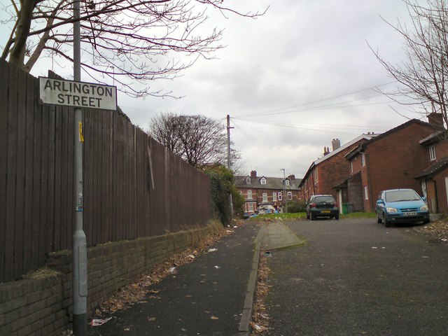
Image: © Gerald England Taken: 5 Dec 2017
Wellfield Road used to go from Arlington Road to Dobroyd Street but now is cut off in the middle and has become a pair of cul-de-sacs.
Images are licensed for reuse under creativecommons.org/licenses/by-sa/2.0
Image Location
Latitude
53.513174
Longitude
-2.242596