Houses north of Hunts Close, Burford
Introduction
The photograph on this page of Houses north of Hunts Close, Burford by Jaggery as part of the Geograph project.
The Geograph project started in 2005 with the aim of publishing, organising and preserving representative images for every square kilometre of Great Britain, Ireland and the Isle of Man.

There are currently over 7.5m images from over 14,400 individuals and you can help contribute to the project by visiting https://www.geograph.org.uk
Houses north of Hunts Close, Burford
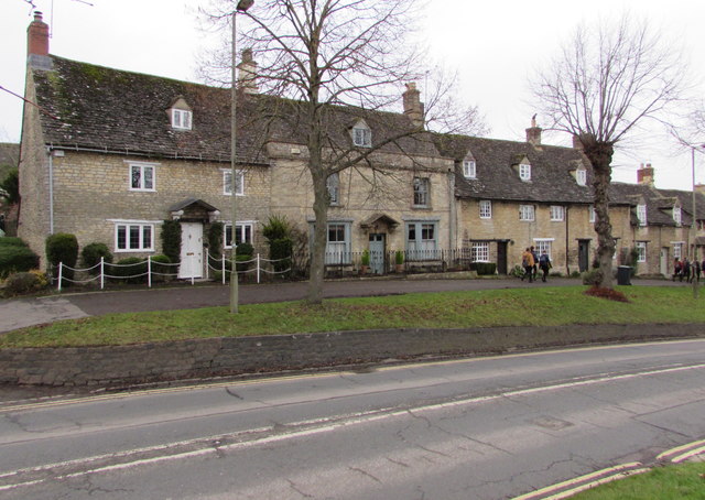
Image: © Jaggery Taken: 16 Jan 2018
Viewed across the A361 The Hill. Hunts Close https://www.geograph.org.uk/photo/5769003 is a few metres beyond the left edge of the photo.
Images are licensed for reuse under creativecommons.org/licenses/by-sa/2.0
Image Location


Leaflet Map data © OpenStreetMap
Latitude
51.805632
Longitude
-1.637803